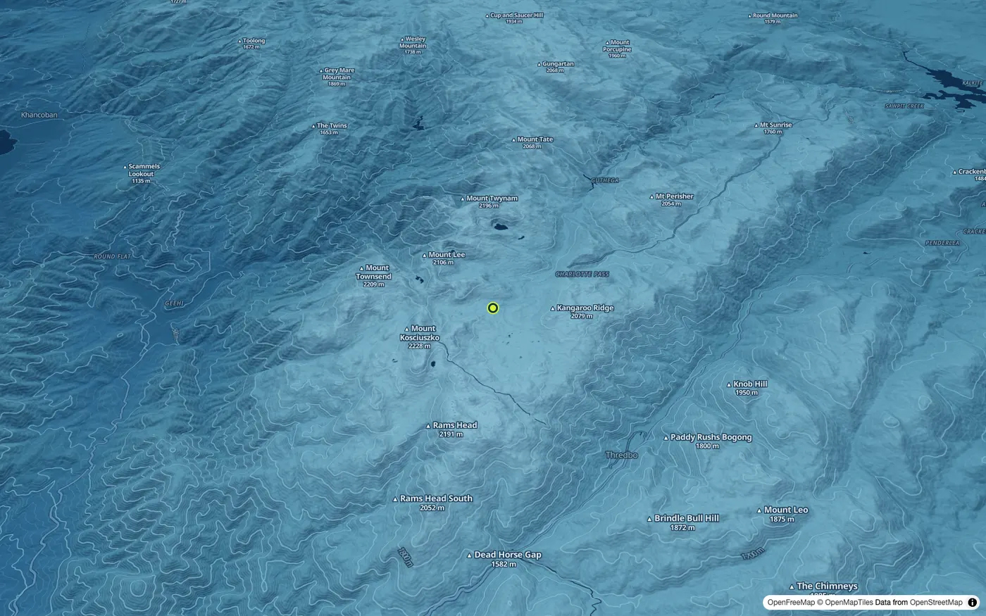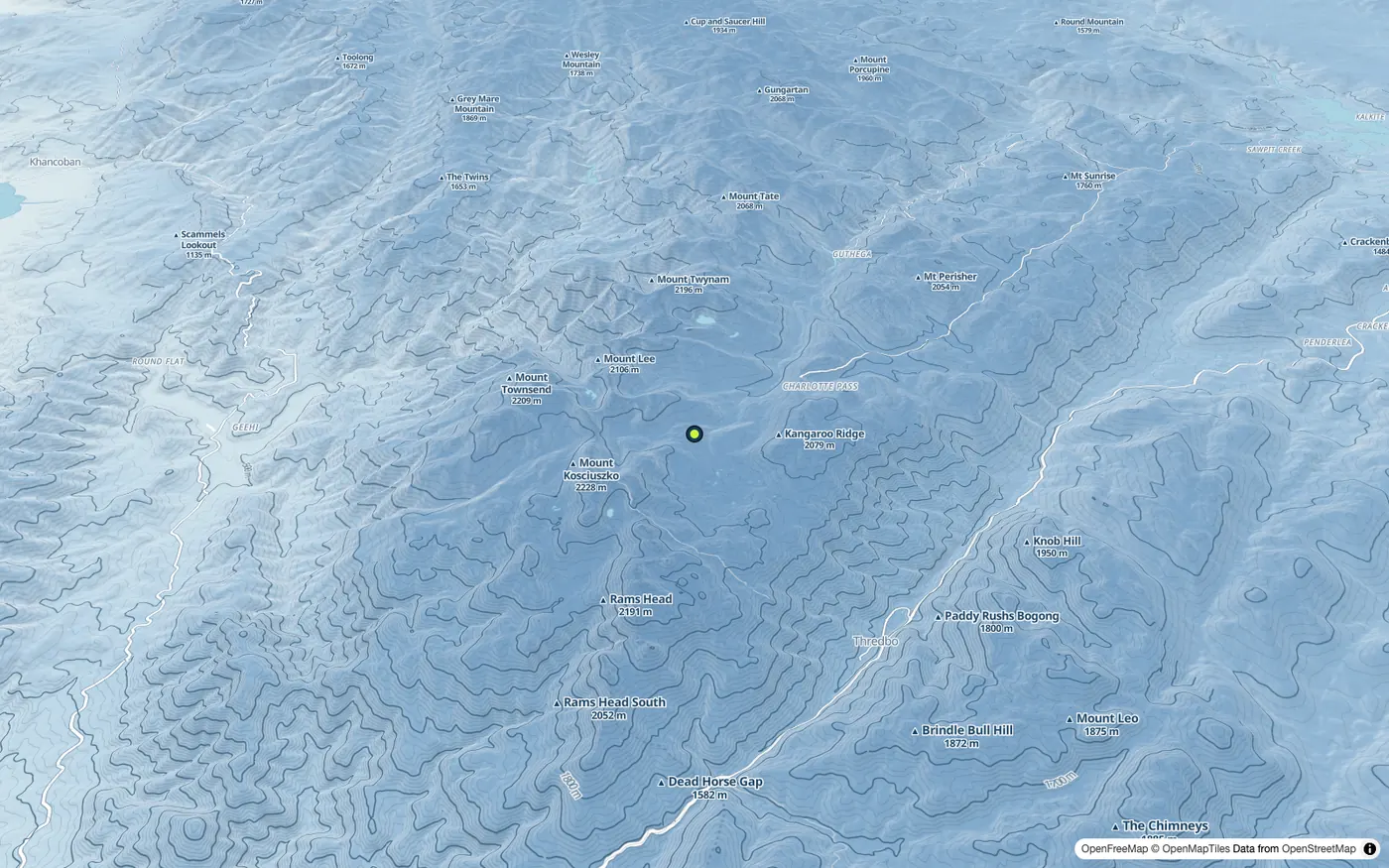
Terrain and altitude, by night or by day
Contours, relief shading and the height along any line you draw, from free terrain data. The altitude colours pictured here, brighter with height at night and deeper by day, are the new topo look arriving on the map next.
Shown: the Main Range around Mount Kosciuszko, tilted in 3D.